Data Downloaded via Parachute from a NASA Super-Pressure Balloon
How earth data is used for managing insurance claims and underwriting
Amazon says its first Project Kuiper internet satellites were fully successful in testing
Taylor Geospatial Institute
What's new from the geodatabase team in ArcGIS Pro 3.2
GitHub - matteason/live-cloud-maps: Near real-time cloud maps
Google's new color scheme for Maps has been spotted in the wild
PostGIS Rocks!
The U.S. has special rules for satellites over one country: Israel
Free topographic maps, elevation, terrain
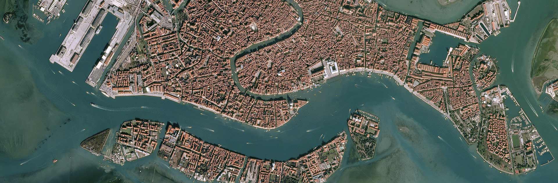
GitHub - openpolis/geojson-italy: Geojson and topojson files for all municipalities, by regions and provinces
Natural Earth is a public domain map dataset available at 1:10m, 1:50m, and 1:110 million scales.
This easy-to-use tool will let you make a map of anything
Maxar's Open Satellite Feed
US studying 2,786 megahertz of spectrum to fuel “next-generation” services
GeoDesk for Python: Analyze & Visualize OpenStreetMap Data
New satellite will detect and share CO2 data from individual facilities
Geographic Names Server: The official repository of standard spellings of all foreign geographic names, sanctioned by the United States Board on Geographic Names (BGN)
Bringing QGIS maps into Jupyter notebooks
OTFS—A Mathematical Foundation for Communication and Radar Sensing in the Delay-Doppler Domain